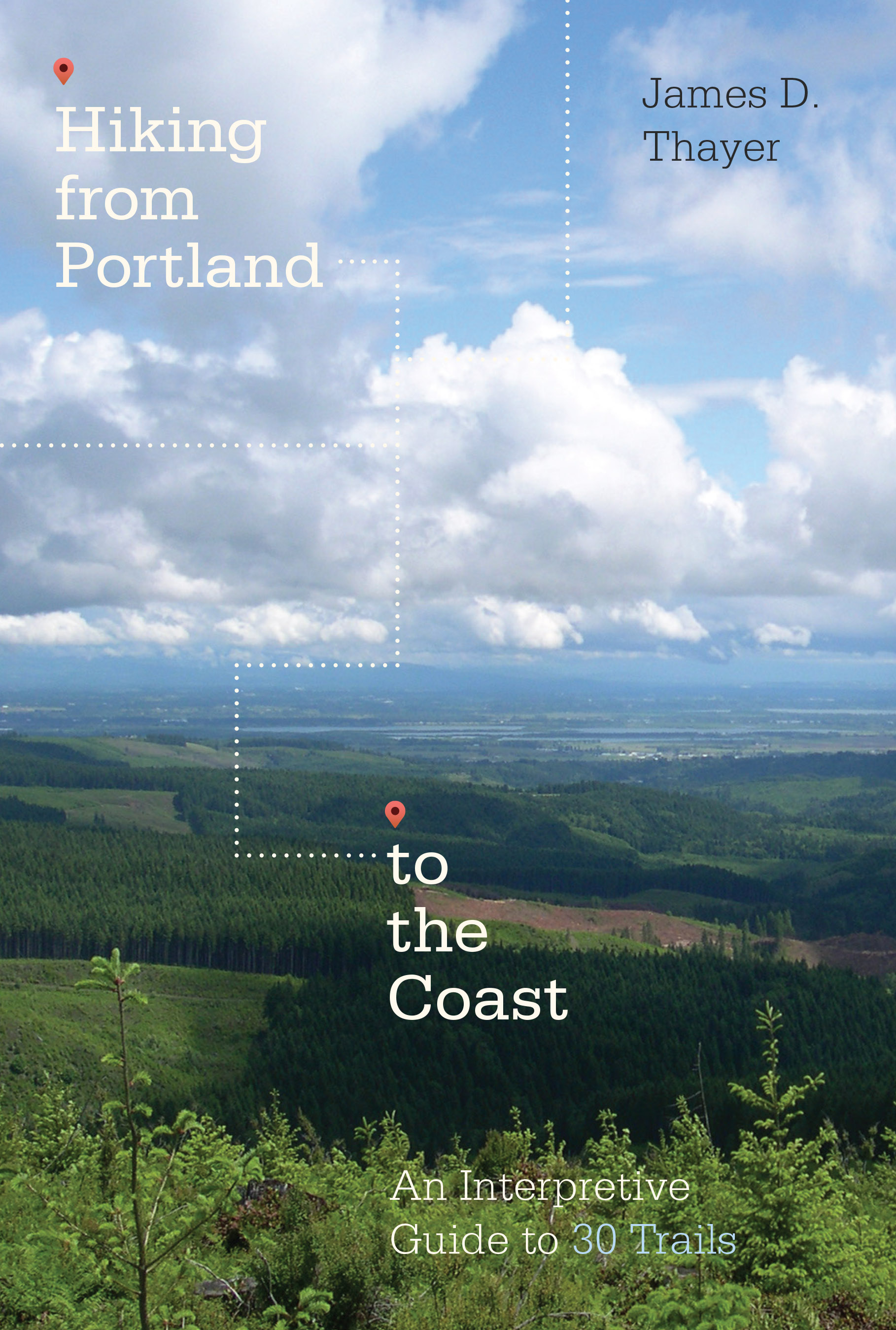
Hiking from Portland to the Coast
James D. Thayer
A guidebook for both experienced and casual hikers, Hiking from Portland to the Coast explores the many trails and logging roads that crisscross the northern portion of Oregon’s Coast Range. While showcasing convenient “looped” routes, it also describes complete throughways connecting Portland to the coastal communities of Seaside and Tillamook.
Designed to both inform and entertain, each of the 30 trails described includes a “backstory” highlighting the rich histories of Native Americans, white settlers, loggers, and railroad operators.
While suitable for hikers, equestrians, and bikers, many of these trails have never been surveyed for recreational use. All are meticulously surveyed and described here, alongside detailed and annotated maps. Some trails are located on private timber holdings, accessible only by paid permit, while access to others is free. In most cases vehicular traffic is not permitted; neither is camping, littering, or making fires. From time to time, access may be restricted due to fire danger or commercial activity.
The maps, notes, and tips provided in Hiking from Portland to the Coast will be invaluable for those adventurers who wish to wander far from the beaten track. Less intrepid explorers will find plenty of short and scenic exploratory hikes in the forests that parallel Highway 26 to Seaside or Highway 6 to Tillamook.
About the author
James D. Thayer is a hiking enthusiast and local history buff. He is the author of Portland Forest Hikes and manages foresthiker.com, a popular hiking website. In1985, Thayer was elected as the first president of the Friends of Forest Park. He also served as president of Oregon’s World Affairs Council. Currently, he sits on the Columbia Land Trust’s executive board, the Oregon Recreational Trail Advisory Council, and the Salmonberry Trail Development Committee.
Read more about this author
Maps are available by clicking on the links below:
Chp 10 Tophill to Bacona Rd.pdf
Chp 18 Nehalem Rvr to Camp Divide.pdf
Chp 20 Gravelle & University Falls.pdf
Chp 21 Rogers Peak Loop Map 1 of 2.pdf
Chp 21 Rogers Peak Loop Map 2 of 2.pdf
Chp 22 Elk & King's Mtn Loop.pdf
Chp 23 Upper Salmonberry River map 1 of 2.pdf
Chp 23 Upper Salmonberry River map 2 of 2.pdf
Chp 24 Lower Salmonberry River.pdf
Chp 25 North Fork Salmonberry River.pdf
Chp 27 Four County Point trail.pdf
Chp 30 Ridge Runners Delight map.pdf